
Infrastructure Development with Drones: Nigeria’s Smart Real Estate Edge
From surveys to safety, drone services in Nigeria are streamlining construction—African Land connects you to the future of building.

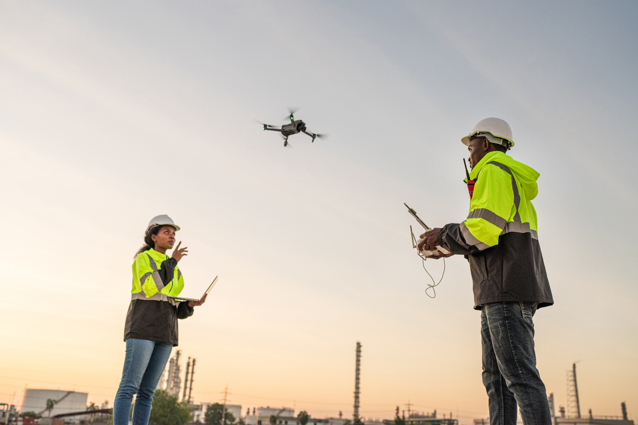
Drone Services for Construction and Infrastructure Development in Nigeria
Nigeria’s construction and infrastructure sectors are booming—from residential housing in Lagos to highway expansion in the North. Drone technology is playing a pivotal role in making these developments faster, safer, and more efficient. With smart aerial insights, drones are now integral to site planning, monitoring, and quality control across major construction projects.
The Role of Drones in Construction and Infrastructure
Drones offer high-resolution imagery, 3D mapping, and thermal sensing that help engineers, architects, and developers streamline their projects. Key applications in Nigeria include:
-
Topographic and Land Surveys: Rapid, precise mapping for road networks, building sites, and industrial zones.
-
Construction Progress Monitoring: Real-time updates and visual records for stakeholders and investors.
-
Quality and Safety Inspections: Drones can identify structural flaws, safety hazards, or unauthorized encroachments early on.
-
Infrastructure Maintenance: Monitoring long-term assets like bridges, railways, and power lines for wear or damage.
With high growth in urban development hubs like Abuja, Ibadan, and Enugu, drone services are helping reduce delays and costs while ensuring compliance and accuracy.
Benefits for Developers, Landowners, and Real Estate Investors
-
Improved Project Planning: Drone data informs better designs and timelines.
-
Reduced Construction Delays: Aerial oversight keeps contractors accountable and efficient.
-
Higher ROI: Investors can track progress visually, improving transparency and trust.
-
Land Optimization: Developers gain a clearer picture of terrain and access, reducing waste.
By integrating drone insights from day one, property developers and infrastructure planners make better decisions—enhancing profitability and compliance.
How African Land Supports Smart Development with Drone Services
At African Land, we bridge the gap between technology and property success. We offer:
-
Drone-assisted land assessment for developers
-
Project site selection with aerial and geospatial data
-
Partnerships with drone operators for ongoing monitoring
-
Support for compliance reporting using drone imagery
Whether it’s for commercial estates, housing developments, or industrial parks, African Land empowers clients to move with speed and precision in Nigeria’s competitive real estate market.
The Future of Drone-Driven Construction in Nigeria
As the government and private sector invest more in smart city planning and infrastructure renewal, drone services will become even more integral. From urban mega-projects to rural road development, drone adoption is set to scale across Nigeria’s evolving landscape.

Comments