Mapping Services in Ghana: An Overview of the Current Offering
African Land Surveyors is the best mapping services company in Ghana. We provide a wide range of surveying services including cadastral survey, boundary demarcation, topographic and engineering surveys.

Mapping Services in Ghana: An Overview of the Current Offering
The mapping services industry is one that is growing tremendously with the emergence of new technologies and solutions. It has become imperative for businesses to leverage the benefits of cost-effective mapping services in their day-to-day operations. Mapping services are defined as a collection of digital maps, geographic information systems (GIS), remote sensing, and other geospatial data. There are a number of industries that benefit from these services in different ways. The agriculture industry uses GIS to store and analyze detailed information about soil properties, streams, wells, and other natural resources. The transportation sector uses it to plan logistics efficiently by identifying potential traffic patterns or places congested with traffic during peak hours. Similarly, the hospitality industry utilizes mapping services to understand customer preferences and make informed decisions about current operational standards to meet changing demand trends.
Why is the demand for mapping services growing?
Mapping services are used across multiple industries to automate business processes, increase productivity, and improve accuracy and decision-making capabilities. Businesses in every sector are looking to leverage these advantages to stay competitive and increase profitability. Therefore, the demand for mapping services is expected to grow significantly in the coming years. Moreover, mapping services are crucial for businesses operating in developing countries. They can help companies comply with government regulations, prevent supply chain disruptions, and improve service quality. They can also help businesses in these countries develop their operations and reduce dependency on foreign suppliers.
What are the benefits of mapping services?
Mapping services are more than just a visual representation of geographical areas. They also provide critical information about the surrounding landscape. Businesses can use this information to meet critical objectives such as compliance with government regulations, improving overall efficiency, and improving customer experience. Some of the benefits of mapping services include -
Types of Mapping Services
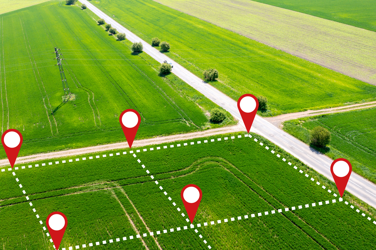
There are a few types of mapping services offered by mapping and geo data analytics providers in Ghana. These include geo data analytics, GIS, remote sensing, and cadastral mapping. Geo Data Analytics: Geo data analytics is the process through which businesses can analyze and make sense of their data to gain insights into customer behavior and operational efficiency. Through geo data analytics, businesses can collect, store, and visualize data to find actionable insights, make strategic decisions, and think ahead about future business operations. GIS: GIS is a mapping tool that enables you to visualize your data on a map. It is used by businesses to store and analyze detailed information about the surrounding landscape. GIS is useful in the agriculture industry, among others, to store information such as soil properties, streams, wells, and more. Remote Sensing: Remote sensing is a type of mapping service through which businesses can collect data about the environment by looking at it from a distance. In the mapping industry, remote sensing is used to collect information about the surrounding environment through satellites and aircraft. Cadastral Mapping: Cadastral mapping refers to the process of mapping lands, buildings, roads, and other infrastructure. It is used by businesses to understand the characteristics of the surrounding landscape and to identify potential risks such as flooding.
Mapping and geo data analytics providers in Ghana
There are many mapping and geo data analytics providers in Ghana. Some of these include Anewgeo, MapStory, and GIS Hub. Anewgeo is a digital mapping company that offers geospatial and mapping solutions. It offers a wide range of mapping services including GIS, 3D visualizations, data management, and more. Similarly, MapStory is an end-to-end mapping and geo data analytics company that offers a wide range of mapping services including GIS, mapping, and data visualization. GIS Hub is a GIS technology company that provides a wide range of mapping services. It offers mapping, GIS, remote sensing, and cadastral mapping services.
Conclusion
Mapping services are used across various industries to automate business processes, increase productivity, and improve accuracy and decision-making capabilities. Businesses in every sector are looking to leverage these advantages to stay competitive and increase profitability. Moreover, mapping services are crucial for businesses operating in developing countries. They can help companies comply with government regulations, prevent supply chain disruptions, and improve service quality. They can also help businesses in these countries develop their operations and reduce dependency on foreign suppliers. Besides, mapping services are more than just a visual representation of geographical areas. They also provide critical information about the surrounding landscape. Businesses can use this information to meet critical objectives such as compliance with government regulations, improving overall efficiency, and improving customer experience.

Comments