
Professional Survey Plans for Nigerian Landowners
Need a survey plan in Nigeria? African Land provides accurate, approved land survey plans for buyers, investors, and developers.

Survey Plan in Nigeria: Your First Step to Secure Land Ownership
When buying, selling, or developing land in Nigeria, one of the most critical documents you need is a survey plan. This legal and technical document outlines the boundaries, size, and location of a parcel of land. Whether you're investing in plots in Lagos, developing estates in Enugu, or acquiring farmland in Kaduna, having an approved survey plan is essential for land verification and security.
At African Land, we help clients obtain and interpret accurate survey plans across Nigeria, ensuring that your real estate transactions are safe, legal, and future-proof.
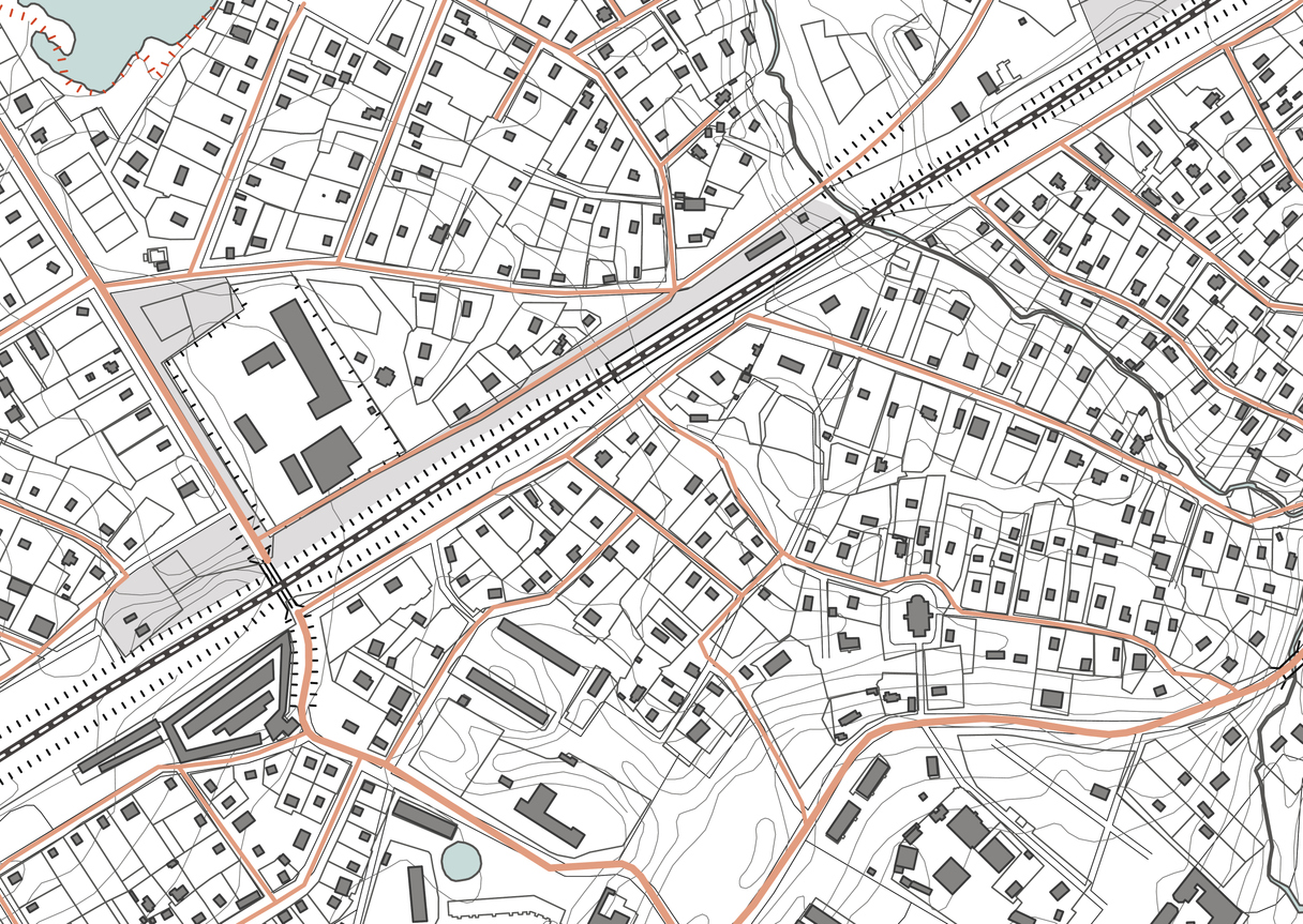
What is a Survey Plan in Nigeria?
A survey plan is a detailed drawing showing the exact dimensions and boundaries of a piece of land. Prepared by a licensed surveyor, it includes:
-
Plot size and shape
-
Coordinates and boundary marks
-
Orientation (North arrow)
-
Adjacent plots or roads
-
Surveyor’s seal and registration number
-
Approval from the Surveyor General’s office
It is an official document required for processing the Certificate of Occupancy (C of O) and other land titles in Nigeria.
Why You Need a Survey Plan in Nigeria
1. Land Verification and Ownership Proof
A survey plan confirms that the land exists in the government’s record and isn’t under acquisition or dispute. It also helps prevent buying encroached or government-committed land.
2. Plot Subdivision and Development
Planning to build or divide land into multiple plots? A survey plan helps in site design, building approvals, and registration with town planning authorities.
3. Legal Documentation
Survey plans are a legal requirement for land title processing (C of O, Governor’s Consent, Deed of Assignment, etc.) across all states in Nigeria.
4. Secure Investments
Whether you’re buying land in Lekki or investing in farmland in Cross River, a survey plan is your proof of legitimate ownership and protects against fraud.
African Land’s Survey Plan Services
We assist landowners, investors, and developers by:
-
Conducting new land surveys with registered surveyors
-
Verifying existing survey plans against government records
-
Mapping and registering plots for development
-
Guiding clients through the land title documentation process
Whether you need a survey plan in Abuja, land verification in Ogun, or layout planning in Delta State, African Land is your trusted partner.
How to Get a Survey Plan in Nigeria
-
Hire a Registered Surveyor – We connect you with licensed professionals in your region.
-
Survey the Land – Using GPS and total stations, the surveyor marks and measures the land.
-
Prepare the Plan – A digital or printed plan is created showing coordinates and layout.
-
Register with Surveyor General – For official recognition, the plan must be submitted and approved.
Request a Survey Plan with African Land
Avoid land disputes and fraudulent transactions. Contact African Land to schedule a survey or verify a property’s documentation. We ensure your land investments are well-documented and legally secured across Nigeria.

Comments