
Drone Services for Urban Planning and Real Estate in Nigeria
From aerial mapping to marketing visuals, drone tech is driving smarter property development across Nigeria—partner with African Land.

Drone Services for Urban Planning and Real Estate in Nigeria
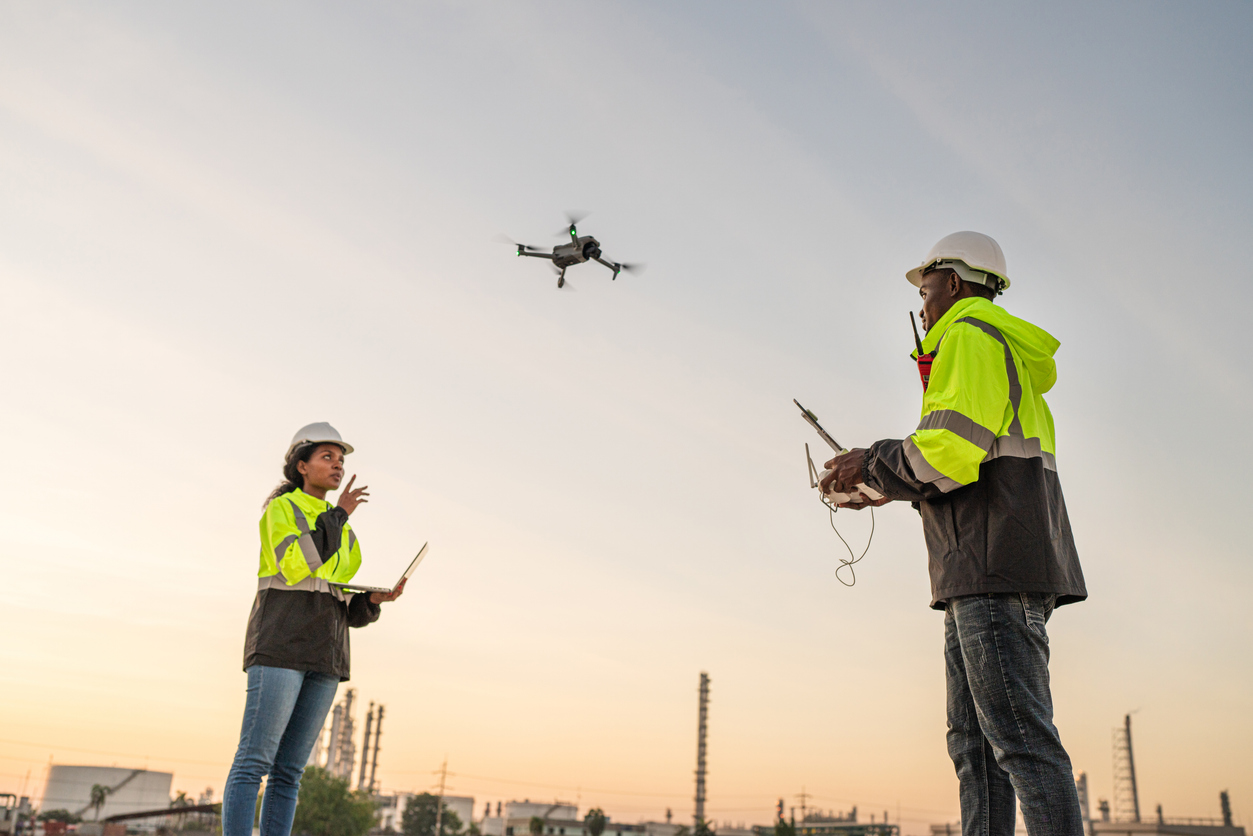
Nigeria’s urban centers are expanding at an unprecedented rate, with cities like Lagos, Abuja, and Ibadan facing increasing pressure on housing, infrastructure, and land use. Drone services are now an essential tool for urban planning and real estate development, offering data-driven insights that support smarter, faster, and more sustainable growth.
How Drones Are Reshaping Urban Planning in Nigeria
Urban planning depends on accurate spatial data and real-time updates—areas where drones excel. Their high-resolution aerial imagery and mapping capabilities help government agencies, architects, and developers make informed decisions about zoning, land use, and infrastructure. Key drone applications in Nigeria’s urban development include:
-
Citywide Mapping and 3D Modelling: Accurate representations of terrain, roads, and building footprints.
-
Infrastructure Planning: Assisting in layout designs for roads, drainage, utilities, and transport systems.
-
Land Use Monitoring: Identifying unauthorized developments or encroachments in real time.
-
Environmental Impact Analysis: Supporting sustainability through early assessment of urban expansion.
These tools help municipalities design smarter cities while empowering developers to plan profitable projects with fewer delays and legal issues.
Real Estate Development: Smarter, Faster, More Profitable
Drone technology is transforming real estate development across Nigeria by offering benefits such as:
-
Accurate Site Selection: Aerial surveys identify the best plots based on terrain, access, and surroundings.
-
Project Progress Monitoring: Timely visuals for investors, stakeholders, and contractors ensure transparency.
-
Marketing Advantage: Stunning aerial footage helps showcase properties to prospective buyers or tenants.
-
Efficient Land Valuation: Drones offer better data for appraisals and future investment planning.
These capabilities reduce risk and improve ROI, particularly in high-growth zones like Lekki, Asokoro, and New GRA districts nationwide.
How African Land Elevates Urban Projects with Drone Expertise
African Land integrates drone technology into its suite of real estate services to support clients in all stages of property acquisition and development. Our offerings include:
-
Drone-assisted urban land scouting and valuation
-
Site surveys for residential and commercial developments
-
Zoning compliance checks and encroachment detection
-
Marketing packages with drone-based visuals for listings
Whether you're developing gated estates or mixed-use commercial spaces, African Land ensures your projects are data-backed and investor-ready from day one.
Urban Futures: Planning with Technology
As Nigeria’s cities continue to grow, the use of drone services in urban planning and real estate is set to become the norm. With updated drone regulations and growing awareness of their benefits, developers who adopt this technology early will gain a distinct advantage in an increasingly competitive market.

Comments