
Reliable Topographic Mapping for Nigerian Properties
Need a topographic survey in Nigeria? African Land delivers detailed land mapping for planning, development, and investment.

Topographic Surveys in Nigeria: Accurate Land Mapping for Smart Development
In Nigeria’s evolving real estate and infrastructure landscape, topographic surveys are essential for informed decision-making. Whether you're developing residential estates in Abuja, planning road networks in Enugu, or assessing farmland in Ogun, having a precise understanding of the land’s features is crucial. That’s where topographic surveying plays a vital role.
At African Land, we offer professional topographic survey services across Nigeria, providing detailed and reliable land data that supports construction, investment, and planning.
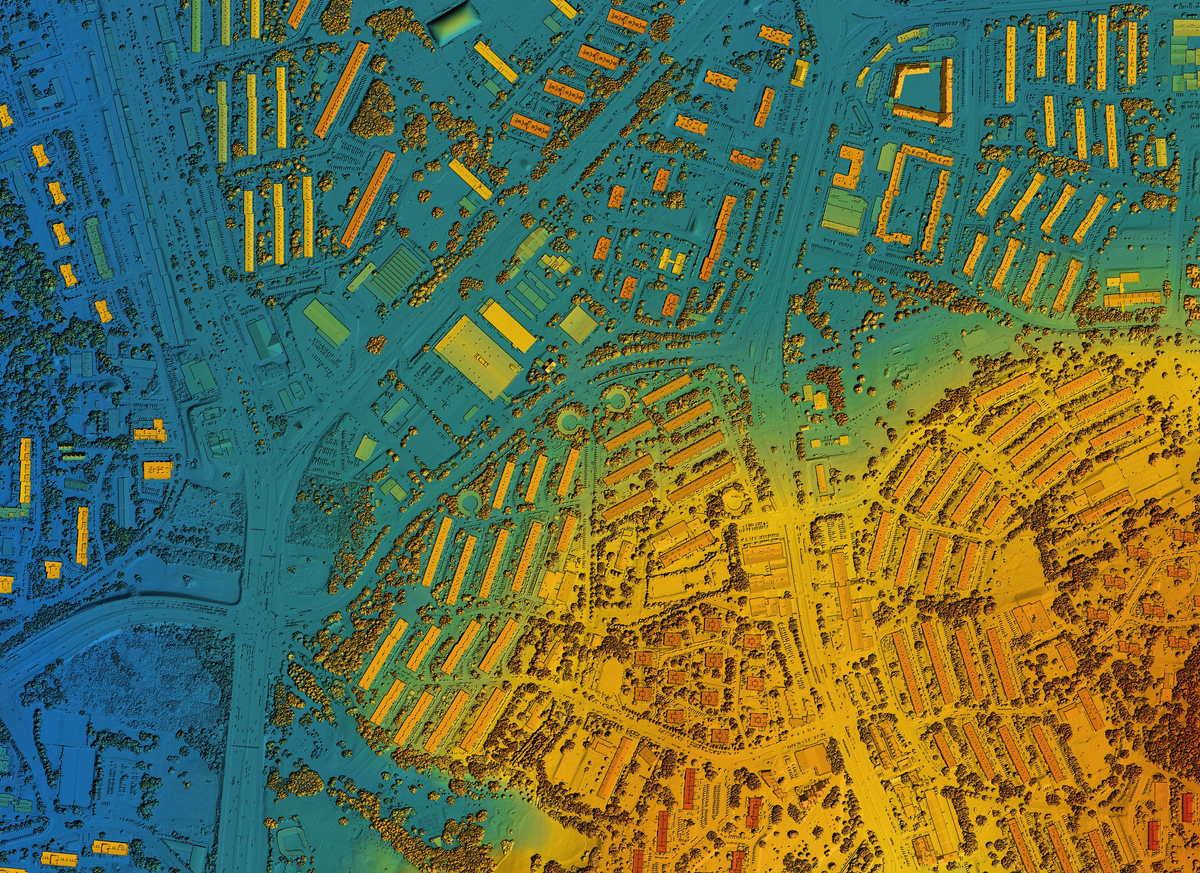
What is a Topographic Survey?
A topographic survey captures the natural and man-made features of a piece of land, including:
-
Elevation changes and slopes
-
Trees, rivers, rocks, and vegetation
-
Roads, buildings, fences, and utilities
-
Contour lines and terrain profiles
This data is then used to produce accurate topographic maps, which serve as a foundation for design, construction, and land valuation.
Why Topographic Surveys Matter in Nigeria
1. Better Planning and Design
Engineers, architects, and developers rely on topographic data to design buildings, drainage systems, and infrastructure that align with the land’s natural layout.
2. Prevent Costly Mistakes
Surveys help identify land issues early—such as poor drainage or elevation challenges—reducing the risk of project delays or budget overruns.
3. Essential for Land Subdivision and Sales
When dividing land for sale or development, a topographic survey ensures legal accuracy and helps determine land usability.
4. Infrastructure and Government Projects
Topographic maps are critical for roads, bridges, powerlines, and water projects—especially in complex terrains or rural areas.
Industries That Rely on Topographic Surveys in Nigeria
-
Real Estate Development
-
Construction & Civil Engineering
-
Agriculture & Irrigation Planning
-
Mining & Resource Exploration
-
Urban Planning & Government Projects
African Land’s Surveying Capabilities
At African Land, we use modern surveying tools, including GPS, total stations, and drones, to deliver high-precision topographic data. Our survey services cover:
-
Residential estates and commercial plots
-
Undeveloped land and farmlands
-
Industrial parks and infrastructure sites
-
Government and NGO-funded projects
We ensure that all our surveys are conducted with local compliance, accuracy, and timely delivery—whether you’re working in Lagos, Kano, Benin City, or remote areas of the North.
Start Your Project with a Reliable Survey
If you're planning a development, investment, or infrastructure project, let African Land provide the topographic insights you need. Our expert team is ready to assist you anywhere in Nigeria with detailed, actionable land data.

Comments